 © OpenStreetMap contributors
 Gulf of California
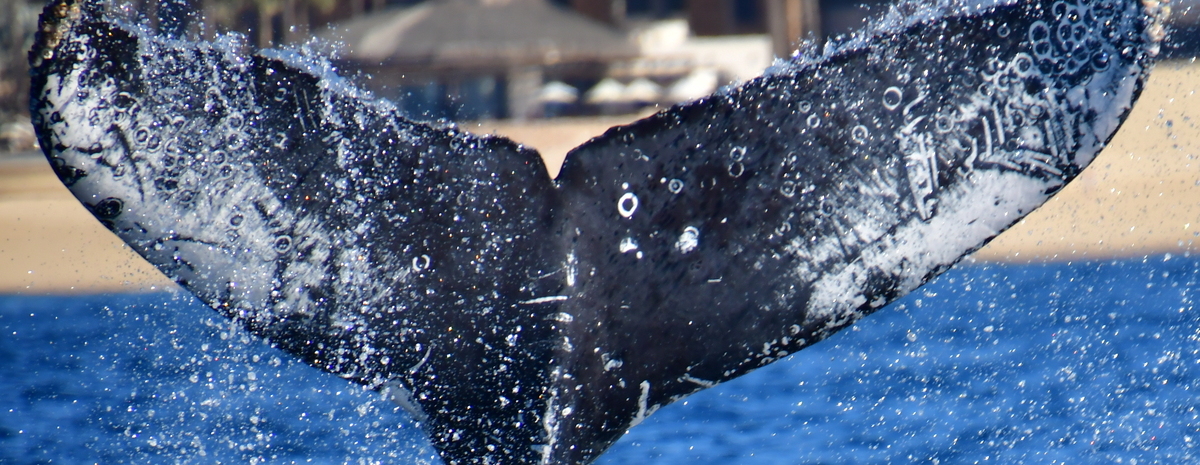
HW-MN0523548 @101187
Mar 10, 2026
Gulf of California · Mar 2026
Modelled · this session
46 m
Deepest dive
1:28
Longest dive
4
Dives
Dive metrics are modelled within real depth limits — not measured
Get actual dive data with Risa Deep →Deep Effort Score
DeepDepth, duration and recovery resolved into a single number for this session.
Unlock with Risa DeepDive profile
modelledDepth shaped by the seafloor limit here (334 m) and the published dive-behaviour distribution. Modelled, not measured.
Measured · the place
Where this happened
measured334 m
Seafloor depth
23.0°C
Sea-surface temp
6.0 km
From shore
Source · opentopodata/gebco2020 · erddap/ncdcOisst21Agg · pacioos-erddap/dist2coast_1deg
Source records
This activity is assembled from 1 catalogued encounter on Happywhale.