 © OpenStreetMap contributors
 Gulf of California
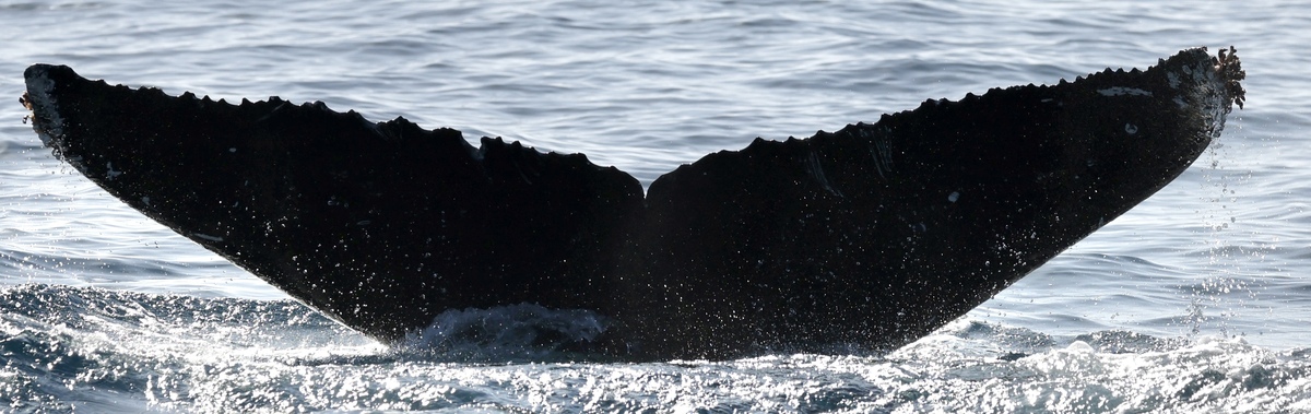
Libre (California) @141113
Mar 31, 2026
Gulf of California · Jan 2026–Mar 2026
Modelled · this session
24 m
Deepest dive
1:10
Longest dive
8
Dives
Dive metrics are modelled within real depth limits — not measured
Dive profile
modelledDepth shaped by the seafloor limit here (41 m) and the published dive-behaviour distribution. Modelled, not measured.
Measured · the place
Where this happened
measured41 m
Seafloor depth
—
Sea-surface temp
2.0 km
From shore
Source · opentopodata/gebco2020 · erddap/ncdcOisst21Agg · pacioos-erddap/dist2coast_1deg